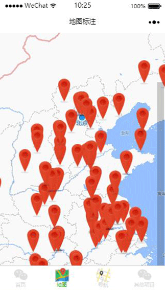
小程序地图定位例子
微信小程序地图操作比较简单,api也很少,使用map组件来展示。说到地图,那就先来看基础定位:
定位用到wx.getLocation(OBJECT)函数,代码如下:
wx.getLocation({
  type: 'wgs84',
  success: function(res) {
    var latitude = res.latitude
    var longitude = res.longitude
    var speed = res.speed
    var accuracy = res.accuracy
  }
})
这里我只用了一个markers,就是定位当前位置的红色markers,用法如下:
 wx.getLocation({
      type: 'wgs84', // 默认为 wgs84 返回 gps 坐标,gcj02 返回可用于 wx.openLocation 的坐标
      success: function (res) {

        _this.setData({
          latitude: res.latitude,
          longitude: res.longitude,
          markers: [{
            id: "1",
            latitude: res.latitude,
            longitude: res.longitude,
            width: 50,
            height: 50,
            iconPath: "/assests/imgs/my.png",
            title: "哪里"

          }],
          circles: [{
            latitude: res.latitude,
            longitude: res.longitude,
            color: '#FF0000DD',
            fillColor: '#7cb5ec88',
            radius: 3000,
            strokeWidth: 1
          }]

        })
      }

    })
这里加了circles,半径是3000米,具体的api可自行看官网。
注意看示例图的右上角,有两个按钮,加减号,是控制地图scale的数值变化,动态缩放地图的,controls用法也很简单:
 controls: [{
      id: 1,
      iconPath: '/assests/imgs/jian.png',
      position: {
        left: 320,
        top: 100 - 50,
        width: 20,
        height: 20
      },
      clickable: true
    },
    {
      id: 2,
      iconPath: '/assests/imgs/jia.png',
      position: {
        left: 340,
        top: 100 - 50,
        width: 20,
        height: 20
      },
      clickable: true
    }
    ]

下载地址:地图定位
关注公众号“大模型全栈程序员”回复“小程序”获取1000个小程序打包源码。更多免费资源在http://www.gitweixin.com/?p=2627